Topographical Surveys and Terrain Modelling in South Wales
topographical surveys covering Carmarthenshire, Ceredigion, Pembrokeshire, Powys, Swansea, Cardiff, Neath and Port Talbot
Topographical Surveys and Terrain Modelling
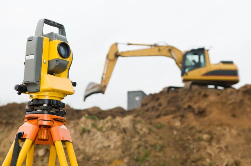
We carry out topographical surveys to get a true representation of a site’s profiles, elevations, natural and man-made features. These include the position of buildings, boundaries, drains and services. The data is captured as a series of points which we use to create an accurate terrain profile model, which we then place into the design model.
The whole process accurately depicts the building in its natural surroundings and gives us vital information to determine the groundworks that will be needed, the position of the building and its elevation in relation to the site and its surrounding constraints.
For example, it helps us design your building to make the most of the site’s orientation, features and light and to protect it from rainwater run-off or flooding.
Site Setting Out
For our site setting out service we use robotic total stations. This allows us to set out the site - including building foundations and structures, foundation bolts and roadways - quickly and accurately, based on our detailed construction drawings.
We cover topographical surveys and terrain modelling throughout South Wales covering Carmarthenshire, Ceredigion, Pembrokeshire, Powys, Swansea, Cardiff, Neath and Port Talbot.
Keen to start your project?

The complete design & consultancy service for the construction industry & domestic self-build sector.
- Planning Applications
- Barn Conversions
- Structural Assessments
- Topographical Land Surveys
- 3D visualisation and Presentation
- Steelwork design and Detailing
- CDM
Providing services throughout Wales including Carmarthenshire, Ceredigion, Pembrokeshire, Powys, Swansea, Cardiff, Neath and Port Talbot
Home About Services Our Work Contact
07792703282 - Rhydhywel Fach, Crwbin, Kidwelly, Carmarthenshire, Wales, SA17 5DE